US
Isaias strengthens in the Gulf as hurricane watches go up from Mississippi to Florida
Tropical Storm Isaias is forecast to become the Atlantic season's first hurricane and reach the northern Gulf Coast late Friday, with 5 to 7 feet of surge possible around Mobile Bay.
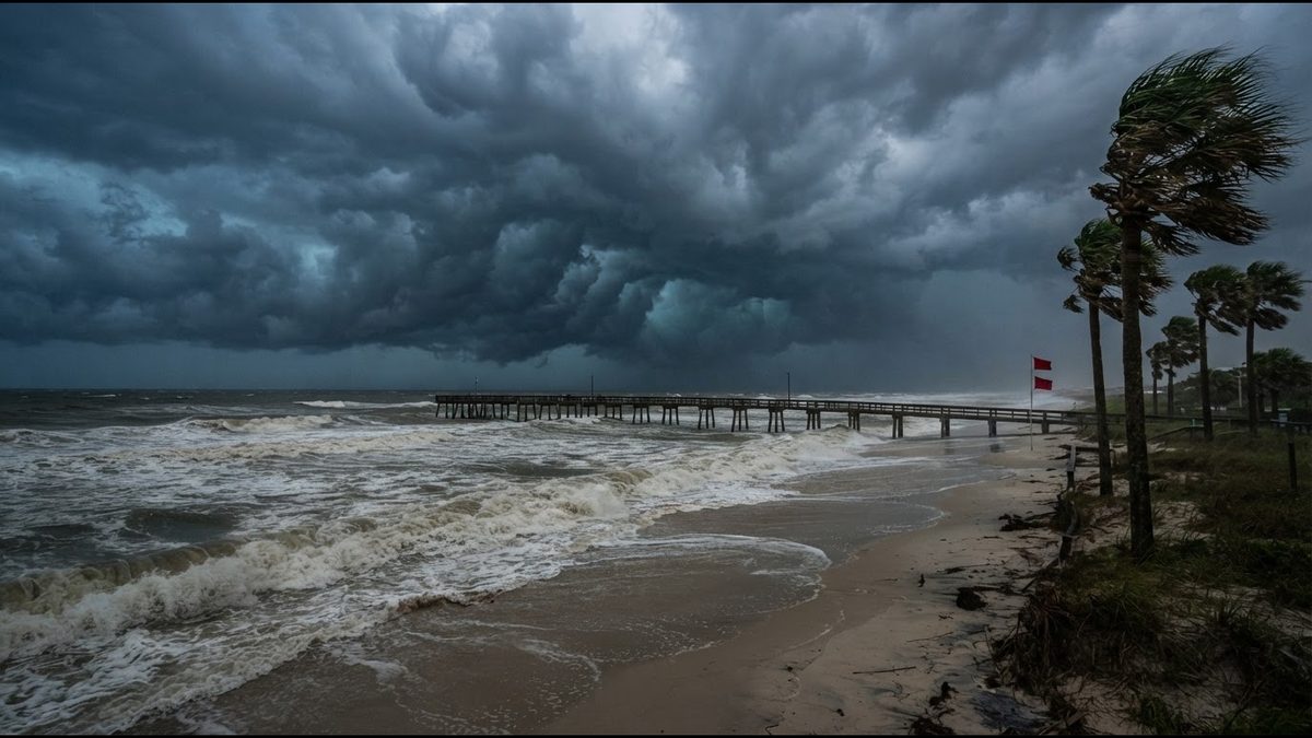
Tropical Storm Isaias was gathering strength over the southern Gulf on Wednesday, and forecasters say it is on track to become the first hurricane of the 2026 Atlantic season before it reaches the northern Gulf Coast late Friday or early Saturday. Hurricane watches now stretch from Bay St. Louis, Mississippi, to Indian Pass, Florida, and a storm surge watch covers the coast from the mouth of the Mississippi River to Yankeetown, Florida.
NOAA Hurricane Hunters found Isaias with maximum sustained winds near 50 mph on Wednesday afternoon, up from 40 mph at dawn. The storm was centered about 520 miles south-southwest of the mouth of the Mississippi River and drifting east-northeast at 8 mph. The National Hurricane Center expects it to turn north on Thursday and Friday, crossing warm water that is running near record levels for early October.
Where the storm is headed
The hurricane center's latest track nudged slightly east, putting the most likely landfall zone near Baldwin County, Alabama, or the Pensacola area. Forecasters stress that the cone is still wide. Physics-based models lean west toward Mississippi, while several newer AI-driven models lean east toward the Florida Panhandle, and the agency said the stronger solutions tend to sit on the eastern side of the guidance.
Earlier projections called for Isaias to peak as a strong Category 2 hurricane with winds near 110 mph over the central Gulf before wind shear begins to chip away at it. Even if it weakens before landfall, the storm is expected to grow in size as it interacts with an approaching trough, spreading damaging wind well east of the center.
If Isaias makes landfall as a hurricane, it would be the first Atlantic hurricane to strike the Lower 48 since Milton in 2024. A strong El Niño has kept the Atlantic unusually quiet this year while the eastern Pacific churned out a series of powerful storms, including Category 5 Hurricane Polo last month.
Surge, rain and tornadoes
The most dangerous threat may be water. The hurricane center says peak surge could reach 5 to 7 feet above ground from Ocean Springs, Mississippi, to Indian Pass, Florida, including Mobile Bay, if the highest water arrives at high tide. Three to 5 feet is possible from the mouth of the Mississippi to Ocean Springs and along part of Florida's Big Bend, with 1 to 3 feet on Lake Pontchartrain.
Rainfall totals of 3 to 6 inches are forecast from southeastern Louisiana to the Florida Panhandle, with isolated spots near 10 inches. Farther inland, 1 to 3 inches could fall from the Tennessee Valley into the Carolinas. The National Weather Service office in Mobile warned that flash flooding and life-threatening rip currents are likely no matter where the center comes ashore, and the Storm Prediction Center has flagged coastal Alabama for a possible tornado risk Friday and Saturday.
The Alabama coast is already waterlogged from a separate storm system last weekend, which raises the odds that heavy bands will turn quickly into street and creek flooding.
What residents should do now
Emergency managers across the region are urging people to finish preparations by Thursday night, before tropical-storm-force winds arrive and make outdoor work dangerous. That means checking evacuation zones, securing boats and loose outdoor items, refilling prescriptions, and planning for power outages that could last days in rural areas.
Coastal communities along this stretch are as varied as the Gulf itself: shrimp and oyster families around Bayou La Batre, retirees on Dauphin Island, longtime Black neighborhoods in Mobile and Prichard, military families near Pensacola, and tourists who came for a fall beach weekend. Officials are asking everyone, including visitors, to monitor local National Weather Service updates, which will now come more frequently with watches in effect.
Warnings are likely to replace watches by Thursday as the track tightens. For now, forecasters' message is simple: the window to prepare is open, but it is closing fast.