US
Isaias slams the Florida Panhandle near Destin and leaves nearly 700,000 without power
Isaias made landfall near Destin as a Category 2 storm then weakened over Alabama. Outages topped 697,000 while flooding and tornado risks remain.
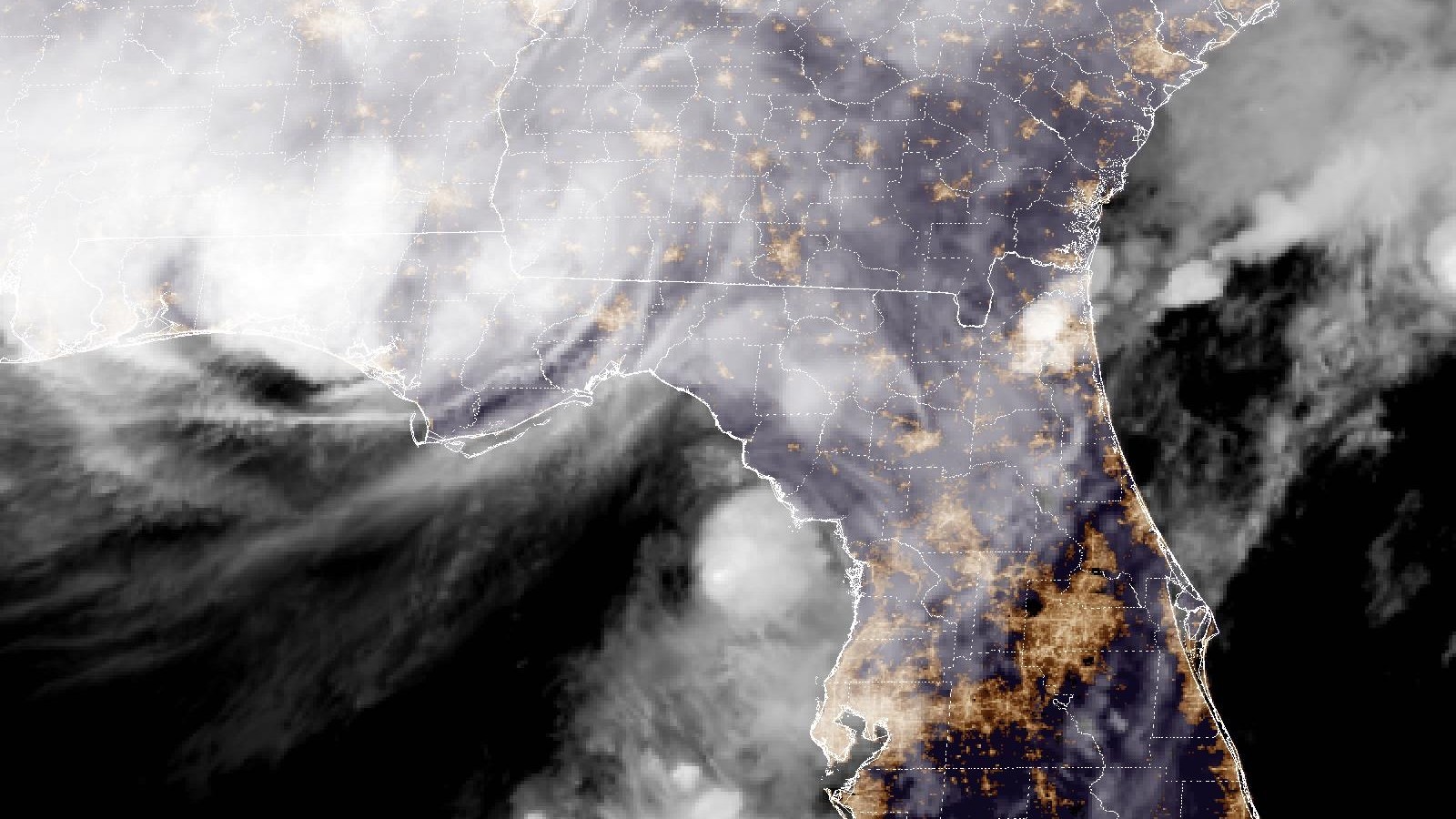
Isaias came ashore near Destin on Friday night as a Category 2 hurricane with 105 mph winds. By early Saturday it had faded into a post-tropical system over central Alabama. It left a long trail of flooded streets, toppled trees and dark homes across the Florida Panhandle and south Alabama.
Landfall and a fast fade
Radar showed the center crossing the coast near Destin at about 8:30 p.m. Central with a pressure of 971 millibars. Hours earlier the storm had briefly reached Category 3 with 120 mph winds before easing as it neared land. A weather station near Santa Rosa Sound logged a 116 mph gust and a station near Pensacola recorded a 100 mph gust. A tide gauge at Panama City Beach showed water about 5.6 feet above the normal high tide line.
Isaias lost strength quickly once inland. By 4 a.m. Central Saturday its top winds were down to 35 mph and its center sat roughly 25 miles south-southwest of Montgomery while moving north at 14 mph. Forecasters dropped every remaining surge and tropical storm warning and said the system should dissipate on Sunday after it crosses Alabama into the Tennessee Valley.
Outages and damage
More than 697,000 homes and businesses lost power across Florida, Alabama and Georgia at the peak. A large share of all customers in Escambia and Santa Rosa counties were left in the dark. In Escambia County crews answered reports of car wrecks, people pinned by fallen trees or damaged houses and at least one house fire.
Destin streets went underwater. Pensacola police urged people to stay home because debris covered the roads. Video shared by residents showed the roof being torn from an inn in Pensacola. Several Panhandle counties briefly halted emergency calls while the wind was at its worst. In Houston County in southeast Alabama officials closed every road early Saturday because of downed trees and lines.
One Pensacola homeowner said the gusts whistled like a train through a gap in his patio door. His yard flooded and part of his fence came down but he said the city got off lighter than he feared.
Rain and tornado threat remains
The danger is not over. Rain totals of 4 to 8 inches are still expected across southern Alabama, the Panhandle, the Big Bend and southwest Georgia with spots up to 15 inches. Much of the rest of the Southeast could get 2 to 5 inches and up to 10 inches in the southern Appalachians and coastal Carolinas. Forecasters warned of flash and river flooding along with landslides in the mountains.
Tornadoes remain possible Saturday across the eastern Panhandle, Georgia and the Carolinas. Dangerous surf and rip currents will linger along Gulf beaches through the weekend.
Federal response
The White House approved federal emergency declarations for Florida and Alabama before the storm arrived. President Trump said officials were watching it closely. He also canceled a planned trip to Saturday's Georgia-Alabama football game in Tuscaloosa so he would not get in the way of emergency crews. Utility crews and road teams spent the early hours clearing debris and checking damage as daylight approached.
More like this
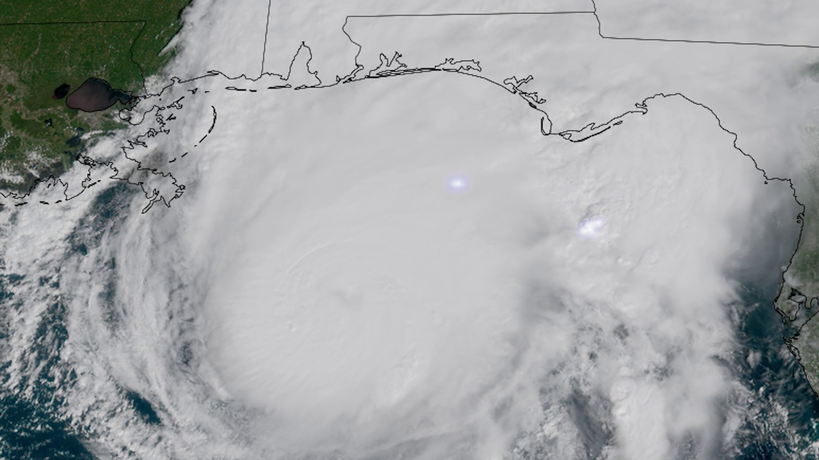
Isaias bears down on the Florida Panhandle as a Category 3 hurricane with landfall expected tonight
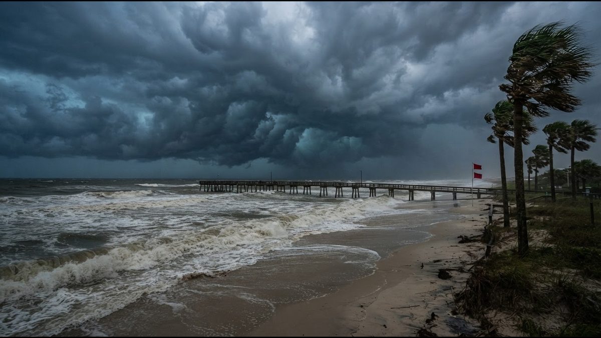
Isaias strengthens in the Gulf as hurricane watches go up from Mississippi to Florida
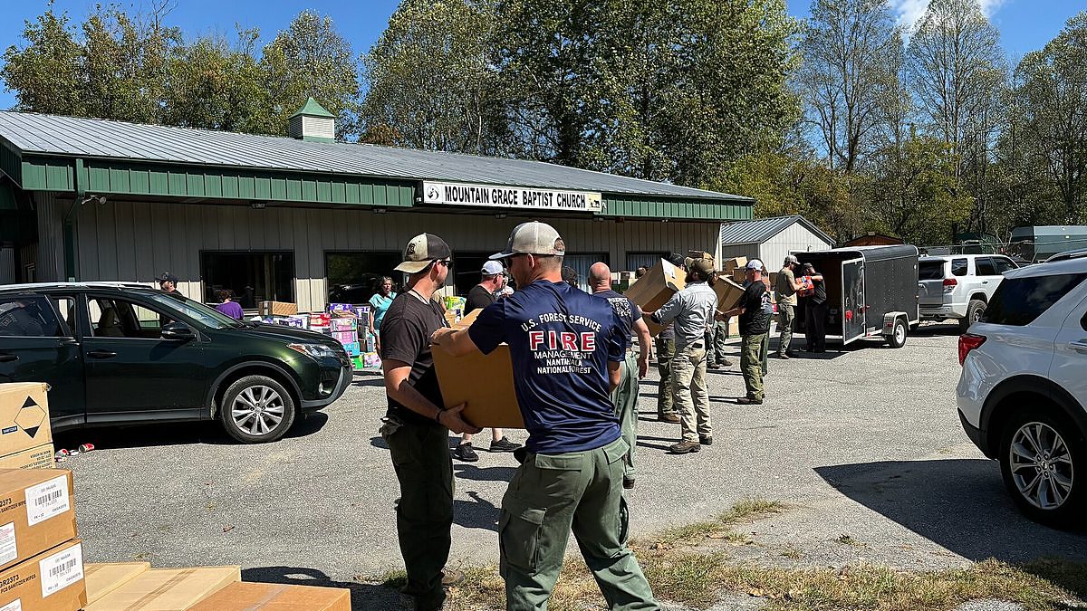
Two years after Helene, western North Carolina mountain towns are still digging out
Magnitude 7.7 quake jolts Panama as tsunami alerts go out across the region