US
Isaias bears down on the Florida Panhandle as a Category 3 hurricane with landfall expected tonight
The storm has 115 mph winds and could push up to 9 feet of surge onto the coast as evacuations and closures spread from Pensacola to Mobile.
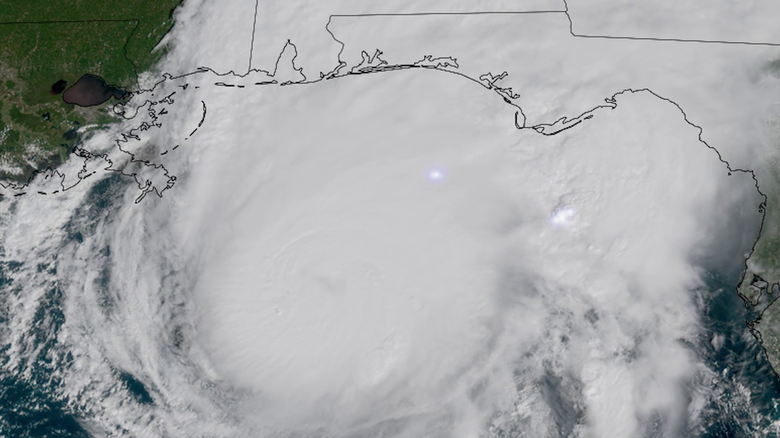
Hurricane Isaias is closing in on the Florida Panhandle as a Category 3 storm with 115 mph winds. Forecasters expect it to come ashore on the western end of the Panhandle this evening or overnight. By late Friday afternoon the outer bands were already lashing the coast near Pensacola.
Where the storm stands
At 4 p.m. Central the center sat about 90 miles south of Pensacola and roughly 125 miles south-southeast of Mobile. It was moving north at 17 mph with a central pressure of 959 millibars. The National Hurricane Center expects little change in strength before landfall and says the eye should cross the coast between roughly 9 p.m. and midnight.
Hurricane-force winds reach about 35 miles from the center while tropical-storm-force winds stretch some 205 miles. A gust of 58 mph had already been clocked near Gulf Breeze and a 56 mph gust at Naval Air Station Pensacola. Forecasters warned that conditions would go downhill fast and that anyone still in a danger zone should be hunkering down.
Isaias became the first hurricane of the Atlantic season on Wednesday night. It then jumped from Category 2 to Category 3 on Friday morning. The storm is forecast to weaken once it moves inland and to become a post-tropical system on Saturday after its center tracks across Alabama toward the Tennessee Valley.
Surge, wind and rain
The biggest danger is water pushed ashore. Surge of 6 to 9 feet above ground is possible from the Alabama-Florida line to Grayton Beach. Levels of 4 to 7 feet could hit from there to Indian Pass and 4 to 6 feet from Dauphin Island to the state line. Lower Mobile Bay could see 3 to 5 feet. A storm surge warning covers the coast from the mouth of the Mississippi River to the Suwannee River in Florida.
A hurricane warning runs from Ocean Springs in Mississippi to the Bay-Gulf county line in Florida. Hurricane-force gusts could push as far as 100 miles inland over southern Alabama. Rain of 4 to 8 inches is forecast for southern Alabama, the Panhandle, the Big Bend and southwest Georgia with pockets up to 15 inches. Much of the rest of the Southeast should see 2 to 5 inches.
Tornadoes are also a threat. The risk covers the Panhandle, southeast Alabama and southern Georgia tonight. It then shifts to eastern Alabama, Georgia and the Carolinas on Saturday. Flash flooding and landslides are possible in the southern Appalachians.
Evacuations and closures
Florida's governor has declared an emergency in 27 counties. Escambia, Santa Rosa and Okaloosa counties ordered people out of Zones A and B along with low-lying areas and mobile homes. Franklin County ordered its barrier islands evacuated. Bay County asked residents of the same kinds of areas to leave voluntarily. Pensacola ordered its own Zones A and B cleared.
Gov. Ron DeSantis said more than 6,000 utility workers are waiting to restore electricity and that about 5,000 National Guard members are being mobilized along with highway patrol troopers and search teams. He told Panhandle residents to assume they will lose power. A top Escambia County safety official said the time to prepare was running out fast.
Alabama's governor declared an emergency in 40 counties. Visitors and other nonresidents in Baldwin County south of the Intracoastal Waterway had to leave by order. That includes Gulf Shores, Orange Beach and Dauphin Island in Mobile County. State offices in nine south Alabama counties shut down at noon Friday. Pensacola's airport closed its terminal to commercial flights at 10 a.m. and Naval Air Station Pensacola limited staff to mission-essential personnel.
What comes next
The hurricane center issues its next full update at 10 p.m. Central. Forecasters say anyone still in a surge zone should be seeking safe shelter now. People farther inland across Alabama, Georgia and Tennessee should expect damaging gusts, outages and flooding through the weekend.
More like this
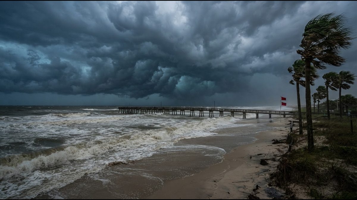
Isaias strengthens in the Gulf as hurricane watches go up from Mississippi to Florida
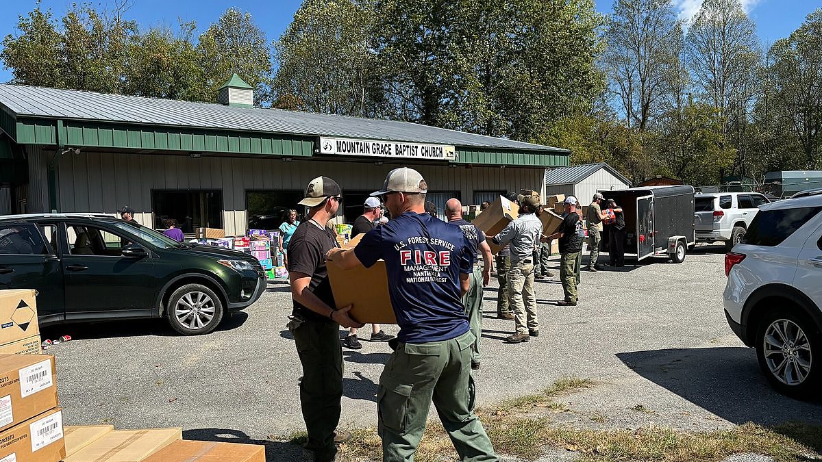
Two years after Helene, western North Carolina mountain towns are still digging out
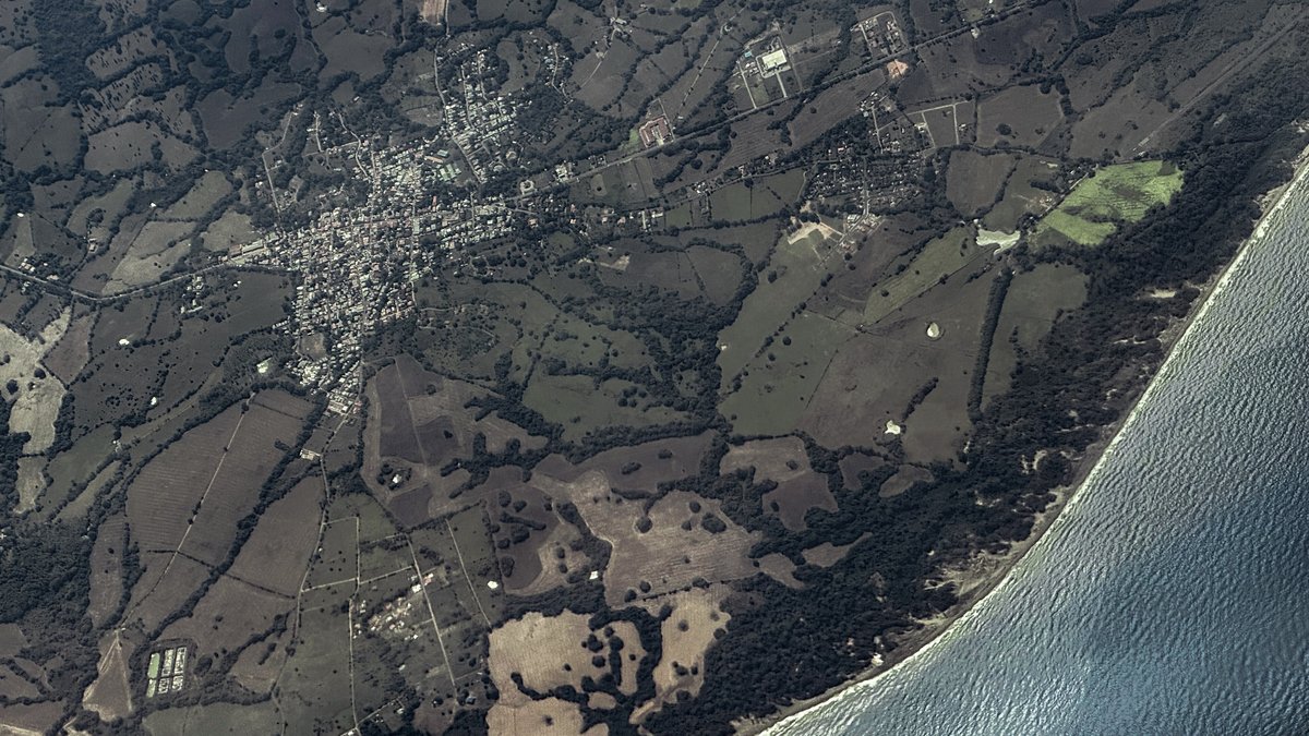
Magnitude 7.7 quake jolts Panama as tsunami alerts go out across the region

Supreme Court opens its new term with a climate fight that could reshape state power